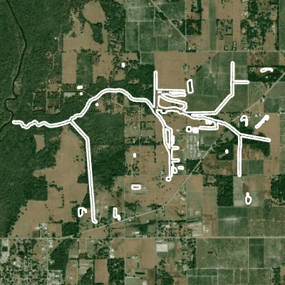
Hickory Branch is a 6.9 mile stream, with the associated WBID(s): 1863.
This waterbody is located within: Peace River Basin
View Maps / Data
CHNEP's Comprehensive Conservation and Management Plan (CCMP) identified four action plans: water quality improvement; hydrological restoration; fish, wildlife, and habitat improvement; and public engagement. Click on the interactive maps below to view data associated with these goals and actions.
Water Quality Snapshot
The Water Quality Snapshot compares the most current water quality data to applicable water quality standards for Chlorophyll a, Phosphorus, Nitrogen, Bacteria, and Dissolved Oxygen to provide a snapshot of how a waterbody is doing. Water quality standards are outlined in Florida Administrative Code 62-302 for fresh/marine waterbodies of different types and uses. A Water Body Identification number (WBID) is an assessment unit that is intended to represent Florida’s waterbodies at the watershed or sub-watershed scale. The assessment units are drainage basins, lakes, lake drainage areas, springs, rivers and streams, segments of rivers and streams, coastal, bay and estuarine waters in Florida.
There are no WBIDs with water quality data at this time.
View Detailed Data About the Following Topics:
Water Quality
Water Levels & Flows
Hydrologic data describe physical properties of water such as how fast it is moving and how deep it is. Click the Learn More links to explore the significance of each parameter and how it is measured.
Water Levels
Water levels in Florida are seasonal, with higher levels during the state’s rainy summer and fall months. Recent water level data are shown below, along with historical and regulatory values to provide context. Learn more about river water levels »
No Data Available
Stream Levels and Flows
Stream level and flow data. Learn more about stream flows »
No Data Available
Bathymetric Maps and Depth Information
These are the latest available contour maps of the river section's bottom. These maps are used to determine the volume of river section which can be useful in calculating flow volume and for determining where deep and shallow spots exist in a section of the river as well as to see the channel of the river. Learn more about bathymetric maps »
No Data Available
Recreation
Find maps and waterway navigation guides, descriptions of facilities and recreational amenities, as well as warnings and restrictions pertaining to their use.


